Quote:
Originally Posted by Beeg

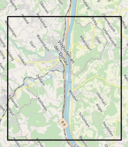
...it's a large, detailed map. I've attached an overhead view.
|
Here's a suggestion using the Venhola program - the black border being the edges of the map (max size).
The terrain is fairly hilly - the Donau will be about 10-12 hexes wide.
What season? Summer? 200x160?
Did you want it to be a river map (assault mission generates inflatable boats for infantry), or not?
Also - roughly what kind of battle is meant to be played on the map? Focus on the bridge, areas north of the river, or maybe south of the river?
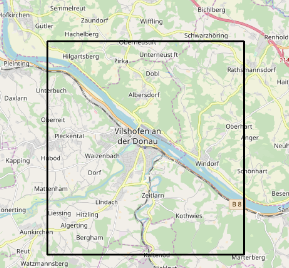
Using Venhola you can also rotate the map if you need to, like this: